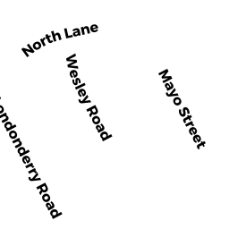
78 LONDONDERRY RD
Owner Information
BARBALHO, MARIA
78 LONDONDERRY RD
FRAMINGHAM, MA 01701


Property Details
78 LONDONDERRY RD is classified as a Single Family Residential (Ranch).
The primary structure on this property was built in 1954. There is 1487ft2 of residential/living space within this property. This property is listed as having 7 rooms.
78 LONDONDERRY RD is valued at 411100. The land is valued at 190100 and the structures are valued at 221000.
This property is in Zone R-1. Confirm with local Zoning Board authorities to ensure there are no overlays or other easements on this property.
The most recent deed for 78 LONDONDERRY RD is recorded at the local registrar in Book 1292, Page 110. 78 LONDONDERRY RD was last sold on 2004-11-02 for 360000.
Assessment data from fiscal year 2022.
Flood Data
According to the FEMA National Flood Hazard Layer, this property does not appear to be in a flood zone. It may also be in an area not yet reviewed. Nonetheless, confirm this information prior to taking any action.
To view the flood hazards around this property, create a FEMA "Firmette" Map of the area around 78 LONDONDERRY RD.
Broadband Internet Providers
| Provider | Type | Bandwidth (mbps) | |
|---|---|---|---|
| GCI Communication Corp. | Satellite | 0 | 0 |
| Viasat Inc | Satellite | 100 | 3 |
| Verizon New England Inc. | DSL | 3 | 0 |
| Verizon New England Inc. | Fiber | 940 | 880 |
| Comcast | Cable | 1000 | 35 |
| RCN | Cable | 500 | 20 |
| RCN | Cable | 1000 | 20 |
| VSAT Systems, LLC. | Satellite | 2 | 1 |
| T-Mobile | Fixed Wireless | 25 | 3 |
| HughesNet | Satellite | 25 | 3 |
Broadband service provider data from December 2020.
Adjacent Properties
- 82 LONDONDERRY RD
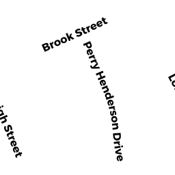
Single Family Residential owned by MILLER, DAVID SCOTT - 26 PERRY H HENDERSON DR
Single Family Residential owned by STIEGLITZ, JONATHAN T & DAWN E - 62 LONDONDERRY RD
Single Family Residential owned by WHALEN, PATRICIA M - 22 PERRY H HENDERSON DR
Single Family Residential owned by LENK, GWENDOLYN R - 24 PERRY H HENDERSON DR
Single Family Residential owned by BENOIT, JOSEPH J & MARIA M